
More than halfway through August now, but still a shade over a month of summer officially left to go. Everyone will need to keep that fact in mind over the coming days as a false fall appears in the forecast. There’s still plenty of lemonade sipping to be had before any pumpkin spice can truly become palatable. As predicted, scattered thunderstorms found their mark yesterday evening and into the early morning hours. Folks eager to hit the trails this morning found footing to be a bit wet still, especially as clinging clouds squeezed out the last they could before winds and a rising sun worked to clear the skies. Although day hikers should find success at keeping themselves dry today (excluding sweat), storm chances return by supper time and are likely to put on a repeat performance of last night. For Sunday, expect conditions to shake out similarly to today…60s, mostly cloudy, breezy, still plenty warm and humid in the lowlands, especially where sunshine manages to break through. Alas, come Monday, anyone visiting the mountain top will experience a cool blast, with high temps in the 50s and lows in the 40s on tap. Enjoy it while you can, because summer-like norms return hastily by midweek.
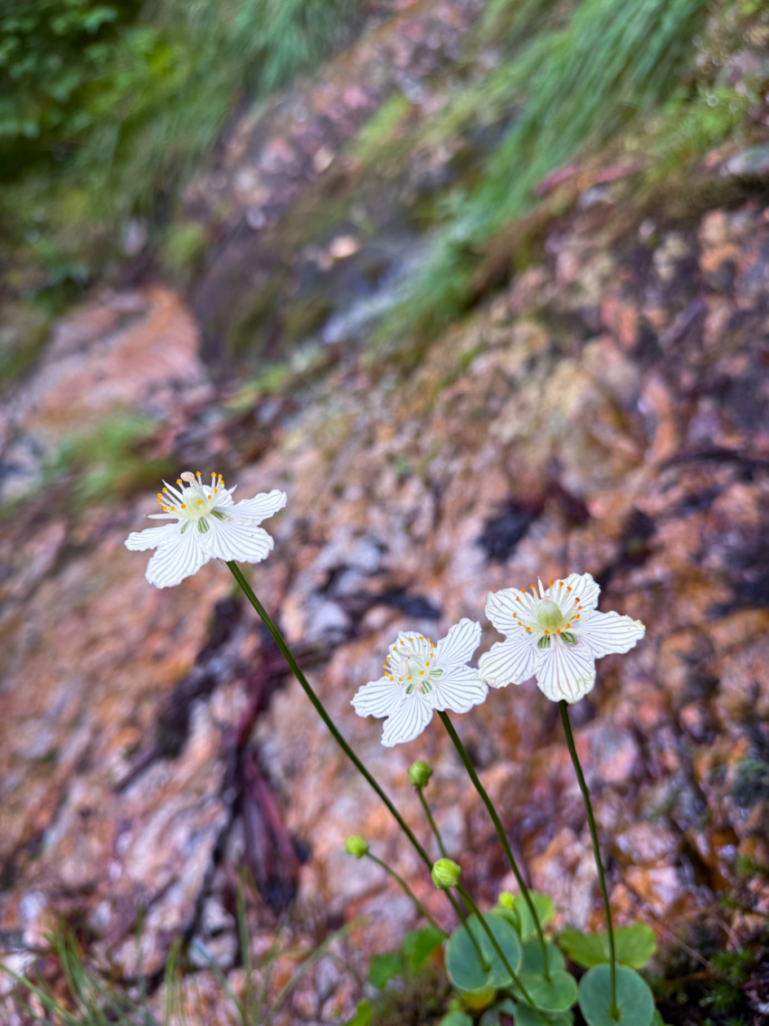
The mountain’s famous late summer bloomers are really coming into their own now. The purple gentian are leading the charge on various exposed slopes, while their running mate in the Grass of Parnassus still has at least one week to go before hitting peak form. Asters are appearing along the upper reaches, while goldenrods prepare for a swap with the pink turtleheads for any eye catching superiority. The coneflower and snakeroot are as thick as ever around the lodge, keeping the buzzers and pollinators occupied. No shortage of natural beauty to behold on Mt. LeConte this time of year.
Have a great day.

Source link