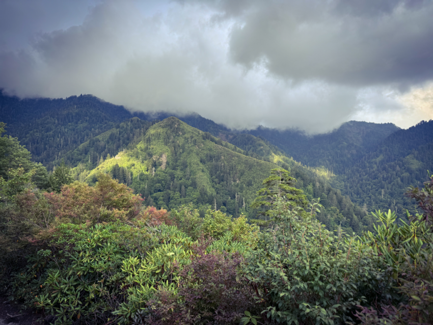

Thick fog and cap clouds have been the norm across the peaks of the Smokies this Thursday. Little speckles of rain also dot the skies, but unless something of decent size pops up out of nowhere, the odds of the mountain seeing precip are still slim to none today. Our luck at staying dry will persist into tomorrow morning before those storm chances increase and drag on through the weekend. Sunday and Monday are shaping up to be the wettest and will occur in conjunction with a very sharp, yet brief, cool down. We’re talking high temps only in the 50s at the lodge and 70s in the nearby gateway communities to start the next week. Anyone not paying close attention to forecasts is sure to be in for a nasty surprise, especially if entering the backcountry without the proper gear for staying dry and warm. Please don’t be that person. Until then, we expect the thermometer to keep swaying between mid 50s and mid 60s at the lodge.
Although we’re navigating this odd period in the calendar between summer vacations and the autumn leaf change, the next several weekends are going to see a steady presence of vehicular traffic on the Tennessee side of the park. As has become commonplace this time of year, several automobile shows and gatherings take place near the Smokies, often creating plenty of traffic congestion along main highways in and around the national park. Those events combined with local schools being back in session, plus bear activity, the potential for slow downs and traffic jams will be high. So plan your routes and times accordingly to avoid the most headaches while coming and going from the mountain. Here is the current schedule for the aforementioned automobile extravaganzas based in Pigeon Forge:
August 16-17
GSM Bronco Stampede
August 22-24
GSM Jeep Invasion
(Labor Day Weekend)
September 6-7
Smoky Mountain Street Dreams
September 12-14
Fall Rod Run
Even though the events formally take place over weekends, it is not unusual for the crowds and congestion to persist during the week.
Have a great day.
Source link