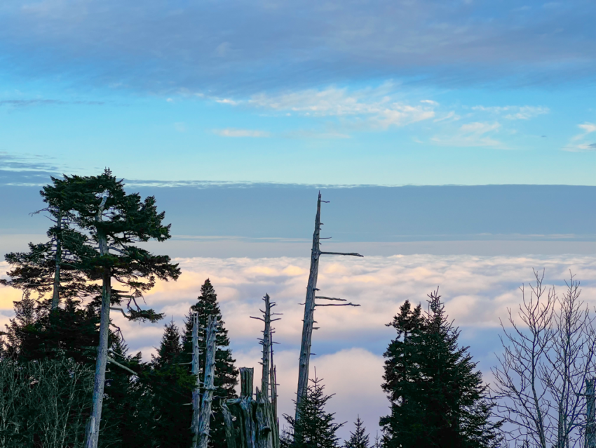
And thus begins the week of “lasts” on the mountain before we shut things down for the winter. Last days of the week, last opportunities to catch sunrise or sunset, last afternoon shifts for crew, last meals by candle light just to name a few. Even though winter doesn’t officially start for more than a month, it’s about to feel like the big chill is already here with the forecasted temps. Yesterday’s steady rain actually worked some magic in melting a decent amount of snow and ice, helping to make walking conditions a bit less treacherous with each passing hour. But now that temps have been dropping steadily since last night, whatever surface that was left wet will now turn back to ice. Folks are waking up this morning to a cloud sea below and dappled clouds and blue sky above. The good news is that we might not see any more rain or snow before we close our doors next Wednesday. The real kicker though is that we’ll be spending just about every day below freezing until that point. In fact, beginning this afternoon the wind chills will have it feeling like 0-10° all day and all night well into next week. So don’t be fooled by the abundant sunshine that’s coming. Adequate warm layers and traction devices will still be essential for spending extended time atop the mountain. Gusty winds of 25mph will be a constant presence now and through the weekend. All roads accessing the mountain’s trails are open, but continue to watch for slick spots when en route.
Have a great day.
Source link


