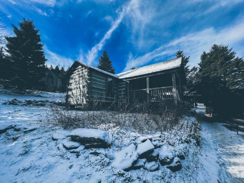
One superbly sunny day has led into another. Well, at least to start anyways. Mostly clear skies today will eventually give way to cloudier conditions this afternoon followed by wind, rain, and snow showers this evening. Little to no accumulation is expected, and winds will gust upwards of 45mph. We’re watching the sunrise over High Top with temps in the mid 20s to kickstart this third week of November, and we are hoping the mercury rises above freezing later this afternoon. If the extended forecast is any indication, this might be the last time we feel temps above 32° the rest of the season. More overnight lows with windchills in the single digits are on the way. So if you’re an overnight guest with a reservation any of these last 9 nights of the season, come dressed for the cold.
There is still plenty of patchy snow on the ground, and now that hundreds of footsteps have trampled down what ice and snow was on trail, surfaces are going to be super slick. Traction devices are going to be an absolute must for safe travel now until the end, especially with more rain, snow, and frigid temps on the way. Tuesday looks like it will be the worst weather day of the week, with abundant sunshine lining up for several days after. There was a brief closure of US 441 (Newfound Gap Rd) yesterday morning, but the NPS got the slippery situation resolved in time to reopen it for the afternoon. All roads accessing the mountain’s trailheads are open, but continue to use caution while driving to and from.
Have a great day.
Source link


